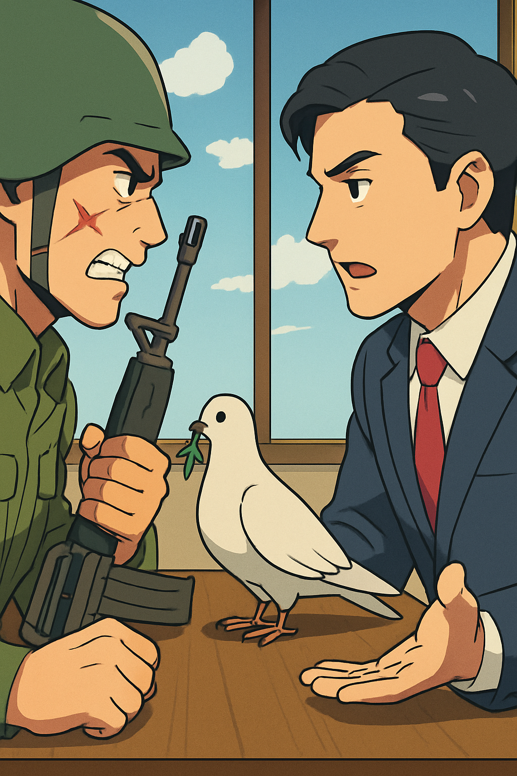
The Bridge Between Two Maps
550 words
When the ceasefire began, the valley’s two communities still measured distance differently. On the northern map, a road ran straight through the market square; on the southern one, it bent around a building that had been demolished years earlier. Each map claimed to be practical. Each also preserved a version of the past, and neither side could discuss the future without first defending its own geography.
Mara Venn, a mediator appointed by a regional council, arrived with no authority to redraw borders and little confidence that another conference table would change anything. The delegates had already exchanged accusations about the war’s origins: one cited a disputed election, another a decade of unequal access to water, and a third the sudden appearance of armed groups funded from beyond the valley. Their accounts were incompatible, but not necessarily false. Mara suspected that the conflict had grown from several grievances, each intensified by leaders who found political advantage in treating compromise as betrayal.
She began not with a treaty but with the road. The market had once connected farms, workshops and a clinic; now its blocked entrance symbolised the distrust of both communities. Reopening it, even temporarily, would require agreement on security, maintenance and who could pass. At first, the delegates argued over the word ‘neutral’. One feared that patrols would legitimise the other side’s claim; another warned that an unguarded route could invite retaliation. Mara asked them to describe the risks in practical terms rather than announce what the other side intended. That small change did not create trust, but it made the disagreement more precise.
Over several weeks, local engineers and shopkeepers joined the talks. Their presence altered the balance of the discussion. A shopkeeper explained that families on both sides had been paying smugglers to bring medicine across a ridge. An engineer showed that the road’s drainage system crossed an imaginary line on both maps, so a flood could damage homes regardless of who controlled the square. These facts did not erase questions of justice or responsibility. They did, however, reveal interests that the official narratives had concealed: safety, reliable trade, and the ability to live without constant negotiation over basic necessities.
The resulting agreement was modest. A joint civilian team would supervise the road for six months, publish its incident reports, and meet every fortnight to address complaints. The arrangement postponed the most divisive question of sovereignty rather than pretending to settle it. Some observers called this evasion. Mara regarded it as a test: a promise could be judged by what happened when it was inconvenient to keep. If the road remained open through a harvest season, the communities would have evidence—not merely rhetoric—that cooperation could serve them better than renewed confrontation.
Peace did not arrive as a single signature. It appeared in ordinary journeys: a nurse crossing the square, a delivery arriving before dusk, children taking a shorter route to school. The old maps stayed in circulation, their competing lines still visible. Yet beside them, residents began drawing a third map, marked with shared wells, repaired drains and places where disputes had been settled. It did not explain why the war had begun, nor did it guarantee that it would never return. It showed something more limited and perhaps more useful: where people had learned, carefully, to meet.